- Home
- About Us
- Product
- Services
- Gallery
- Contact Us
Call Us

Description
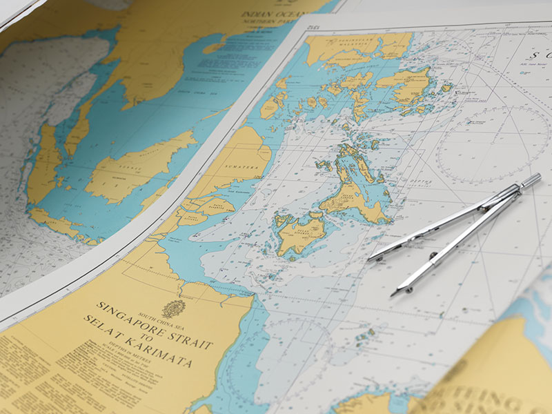
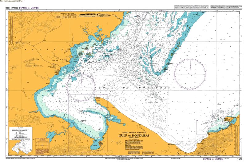
A nautical chart is one of the most fundamental tools available to the mariner. It is a map that depicts the configuration of the shoreline and seafloor. It provides water depths, locations of dangers to navigation, locations and characteristics of aids to navigation, anchorages, and other features.
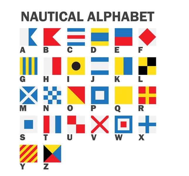
We offer various types of Flags & Charts.